Hiking in Glacier National Park – Fiction Once upon a time, in the breathtaking wilderness of Glacier National Park, a group of adventurous college students, along with a few older, hardy, folks, embarked on a journey to explore the hidden wonders of nature. Equipped with sturdy boots, backpacks filled with supplies, and hearts full of…
Category: Parks

Trip planning Glacier National Park Montana.
For many folks, planning a trip to Glacier National Park in Montana can seem a bit daunting. Fortunately, help is available from a local person who knows the Glacier region well. Sharon at GlacierPlanner dot com is ready to help fill in all the details and make your trip to Glacier an enjoyable experience. “Sharon…
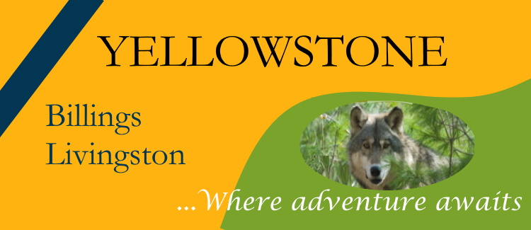
Yellowstone Park Entrances
RED LODGE POST Most visitors arrive at Yellowstone National Park during the summer months. This is expected as schools are not operating, and the weather is nice. Is there any way to avoid crowds heading into Yellowstone? Maybe. Yellowstone has five entrances (East, South, Northeast, North, and West). Choosing one over others may be a…
Glacier Park Webcams
RED LODGE POST GLACIER NATIONAL PARK in Montana. LIVE. Links to Webcams featured by the National Park Service Webcams from various locations in Glacier. Apgar Mountain 1 A splendid view of Lake McDonald and mountains northeast of the lake. This Webcam is near the west entrance to the Park. Frame captured from Webcam, Apgar Mountain…

Blackfeet Tribe and Glacier Park
RED LODGE POST History of lands that became Glacier National Park In the late 19th century before Glacier National Park was created, land west of the Continental Divide was in the public domain and open for settlement. The land east of the Continental Divide was on the Blackfeet Indian Reservation. If this were still the…
Saint Mary Lake
Glacier National Park The glacial landscapes in Glacier National Park were created by large alpine glaciers that covered the region thousands of year ago. As glaciers moved down mountain valleys massive amounts of rock and earth were pushed down slope. Streams flowing from the glaciers carried the sediments to lower elevations. During geologic time, Divide…
Glacier Reborn
RED LODGE POST A window to Pleistocene history Glacier National Park, Montana, c 12000 years ago. A massive alpine glacier fills McDonald Valley, Glacier National Park, Montana. Photo from a GNP Web cam at Apgar Mountain, September 28, 2020, 7:30 a.m. Beautiful glacial Lake McDonald in McDonald Valley, Glacier National Park, as it appeared…
Many Glacier Hotel
Glacier National Park If you want to experience travel in Glacier National Park as it was more than 100 years ago, book a reservation at Many Glacier Hotel. Many Glacier Hotel was built by the Great Northern Railway in 1914-15. Today the hotel still stands and retains its historic charm and grandeur. A true…
Trail of the Cedars
Glacier National Park Trail of the Cedars is a nature trail. It is a short loop trail accessed from Going-to-the-Sun Road near Avalanche Creek Campground northeast of Lake McDonald. The trail is about one-half mile long and passes through old-growth forest of western red cedar and western hemlock. Abundant ferns are mosses add to the…
Glacier Wildlife Gallery
Glacier National Park Glacier National Park has an abundance of wildlife. The wildlife thrive in natural habitats far from human civilization. Glacier wildlife are protected in a natural environment. Here are a few of the species viewed by many visitors to the park. …
Lake McDonald Lodge
Glacier National Park Do you want to enjoy travel lodging in the northern Rockies as it was more than 100 years back in time? You can at Lake McDonald Lodge in Glacier National Park. The Lodge was very upscale when it opened in 1914, a few years after Glacier National Park was created in 1910….
Glacier Park Transportation
Glacier National Park With thousands of people visiting Glacier National Park each day during the peak season, July and August, transportation in the park can be a real challenge. Basically, visitors have three options for motorized transportation: free Shuttle Buses (courtesy NPS); the iconic Red Buses (for a fee); or by private vehicle. Each option…